Hiking in Northern Spain
When I decided to hike a path in the Picos de Europa in Northern Spain I didn’t have much expectation for the towns and area around the famous lakes.
I stayed in a yet smaller town with one Street in Las Reims closer to the Campo la Tiese, a 7 hour round hike up to one of the best points. The Hostel was a new married couple complex with everything you could need to get the best out of the area. Andres the owner made sure that you understood how to get to Las Reims from Cangas de Onis (the closest town).
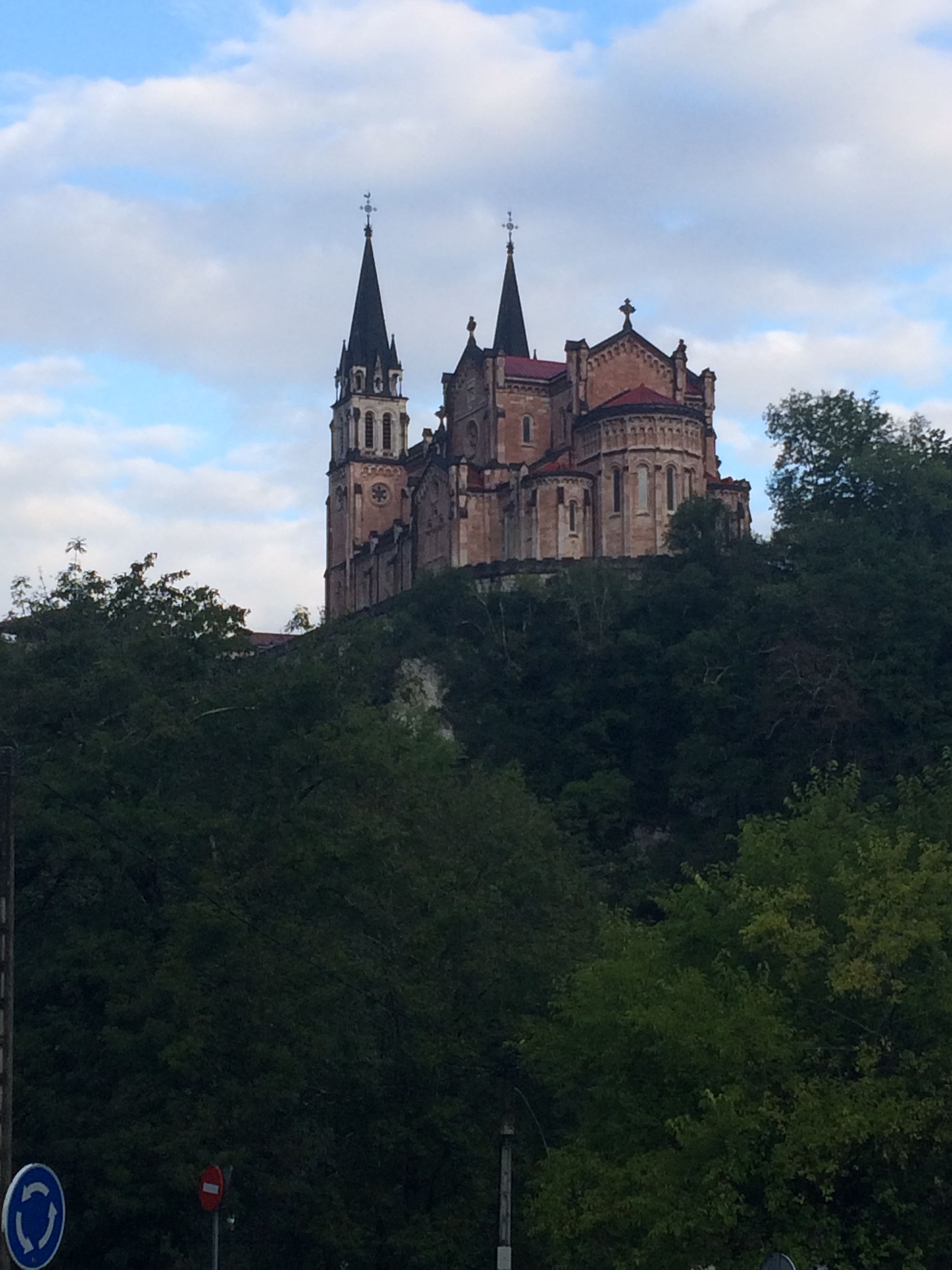
I went at the end of the season and as a result the tourist bus which stops at both lakes was not running during the week. My hiking buddies who i met at the Hostel were able to hitchhike to the top lake. Hitchhiking was no problem and completely safe in these areas. 3km from Las Reims is Covadonga the town at the bottom of the mountain road has a beautiful Cathedral sitting on top of a hill which early in the morning was covered in mist, adding to the mystical aura.

Cathedral in Covadonga
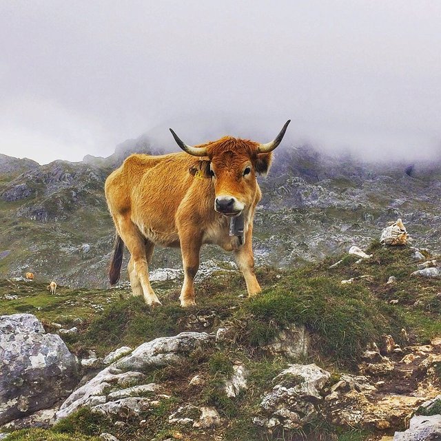
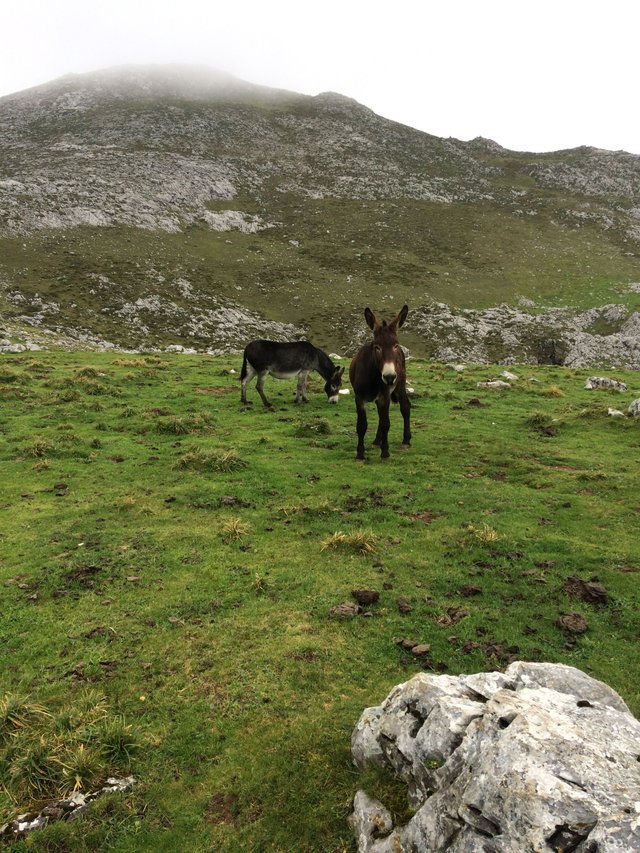
From the top lake there are spectacular views of the country and mountains. With a small pub/cafe it is recommended to stock up on supplies for the next 4 or so hours, there is a small house at the top however food is limited. At the starting pub there are tortillas, sandwiches, coffees, beer, wine and water. Trodding to the west side of the lake the trail begins. The going is tough in the late season when the rains have cause bogs and small rivers but slow and steady wins the race. Along the way you trek through farmland and rock formations. Animals are everywhere plenty of goats, sheep, and cows along with the odd sheepdog and chickens. If you are anything like me and enjoy taking photos of animals on hikes be warned if you stop for every herd you will never get to the top!

A lovely cow posing for a photo as we walked through his herd.
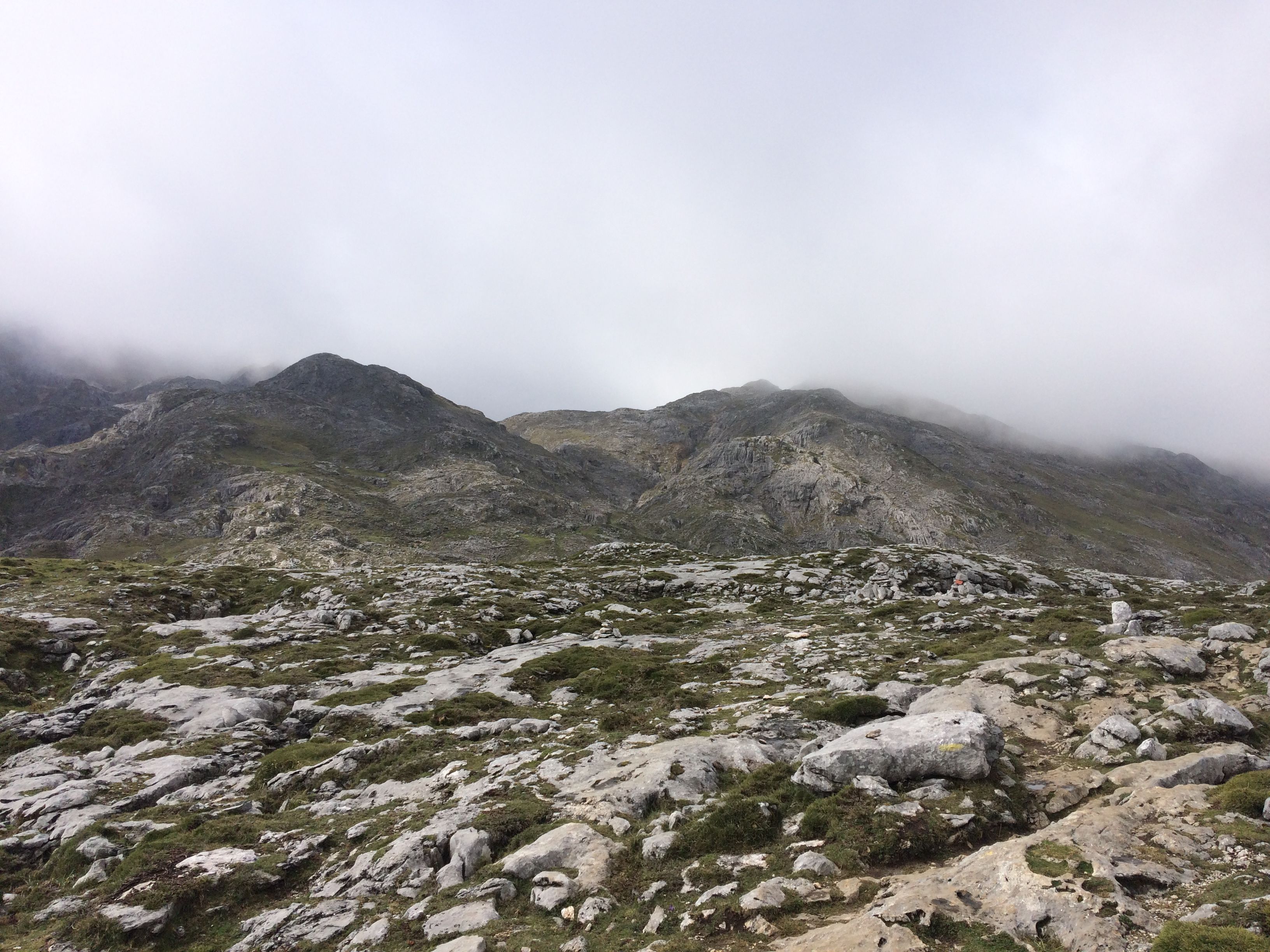
Most of the trail is easy going with a steady incline, however navigating the sloppy puddles, muck and cow pats does mean it is not necessarily in a straight line and the path is not always the way to go. It is well marked with yellow and white lines so as long as you at parallel to the path there should be no issues. There are two sections which are quite steep and testing, on a whole this is probably 3km of a 22km round hike. Nothing too drastic but definitely something to prepare for. Even though I went on the off season and there were slight showers and fog on the way up it made for an even more mystical experience.

But once you reach the top it is absolutely worth it, the house at the top is owned by a lovely couple with their cattle around the top of the property. There you can sit and relax in the warmth, eat your supplies or buy more if you have run out. Fill your water up at their pump and take in the beautiful 360 degree views. The fog had cleared, the sun was shining and it was an amazing mid hike break. The hike down is also easier, however being clumsy on a wet hike did result in three slips and a muddy walk home.

Great story, great photos, Matey.
Congratulations, Your Post Has Been Added To The Steemit Worldmap!
Author link: http://steemitworldmap.com?author=travelwithrhi
Post link: http://steemitworldmap.com?post=hiking-in-northern-spain
Want to have your post on the map too?
Add the following inside your post:
!steemitworldmap xxx lat yyy long description d3scr
(replace xxx and yyy with latitude and longitude)
This post has received gratitude of 1.02 % from @appreciator thanks to: @plumey.
This post has received a 0.87 % upvote from @buildawhale thanks to: @plumey. Send at least 1 SBD to @buildawhale with a post link in the memo field for a portion of the next vote.
To support our daily curation initiative, please vote on my owner, @themarkymark, as a Steem Witness