Total Solar Eclipse Expedition #1 - Journey to the Continental Divide
Anything that can go wrong will go wrong.
-Murphy’s Law
We began our plans well in advance for this trip, plotting the exact routes on our Benchmark Detailed Roads and Trails maps, analyzing the time and space it would take to get to our remote destination of Whiskey Mountain, Wyoming to be in the path of totality for the ‘Great American Eclipse’… we’d staged the gear, prepped the vehicles, topped off the fuel reserves, and had everything in place… all we had to do was endure one more day of work, and we’d be driving to the mountains!Enter our good friend, Murphy.
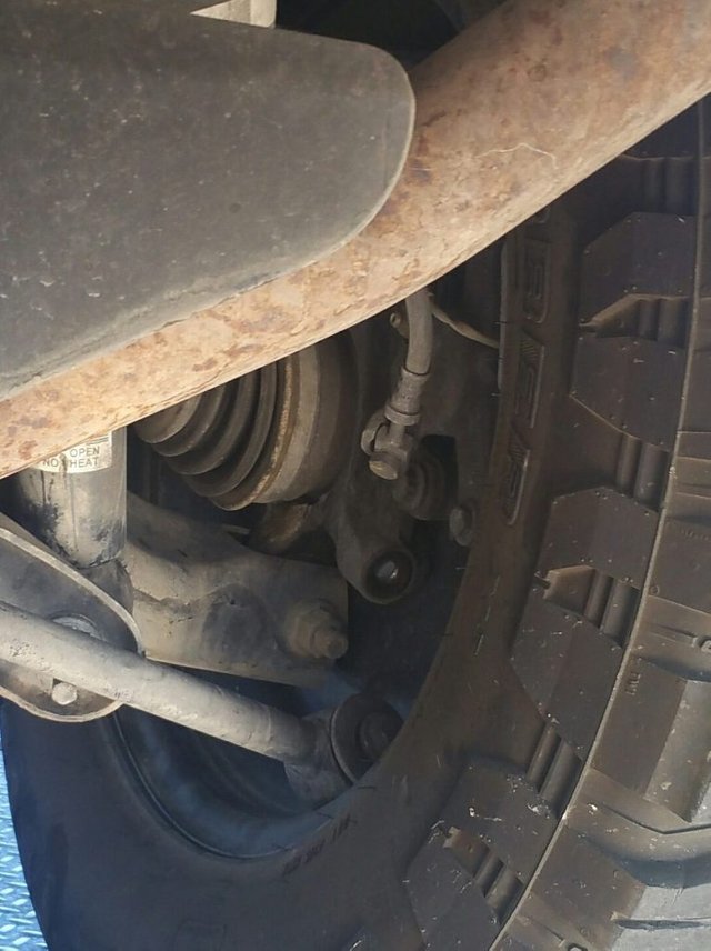
A close-up of the sheared bolt.
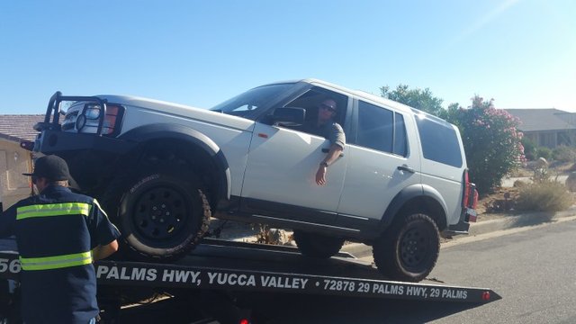
As we turned out of the neighborhood and headed to work, we heard an audible ‘SNAP’, followed by a lunking, dragging sound… this was most definitely not good. Upon inspection we realized that the bolt to the rear control arm of my Land Rover LR3 ‘The Sand Rover’, had cleanly sheared… simply put, a mobility kill.The vehicle was down, and there was no way it would be ready for our departure in twenty-four hours… we called our go-to desert towing service, and had the Sand Rover hauled down the mountain pass, to the Coachella Valley Land Rover service department… we scrambled to decide our new course of action… should we take a loaner Discovery Sport? Will they give us a new Discovery 5 for trial (perhaps the TDI model?)… after serious consideration, and weighing the capabilities of a new 2017 Land Rover with the extreme trails we’d be traversing, we decided it best to consolidate our equipment into one vehicle for this expedition… Van’s heavily modified 3500 Ram.After playing a little bit of tetris, and repacking certain pieces of gear into tighter storage solutions, we had everything that our team would need for the next week of exploration up the Continental Divide into Wyoming for the Total Solar Eclipse.
Our friend, Justin, loading the Landy up on the flatbed tow.
The next afternoon, we set out on our journey, aiming to make it to Flagstaff by nightfall… we ended up taking an side trail and camping under the stars in the Coconino National Forest. Found the camp via Free Campsites.. which was a great asset for a few of the nights of this trip… sometimes you just feel like it’s time to stop driving, and if you’re not in the backcountry, that site really helps out, shows any place that you can camp for free!
First Night Camp: Coconino National Forest, AZ: 35.255727, -111.85063
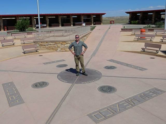
“This is going to be the only super touristy thing we do this entire trip!” – Van
We awoke the next morning to a slight chill, trekked our way back to I-40/Route 66, fueled up our bodies and vehicle, and then ventured forth on our way to the Colorado mountains, and link up with the Continental Divide Trail!Along the way, we had to make the obligatory tourist stop at the Four Corners National Monument… because when you have the chance to stand in four states at one time, you have to take it!After a few quick photos, we were back on the road and headed to Durango, in time to satiate our appetites at the wonderful Steamworks Brewing Company. After topping off the truck, we were on the final hardball push of the next few days, and made it into Saguache County with plenty of daylight to spare.
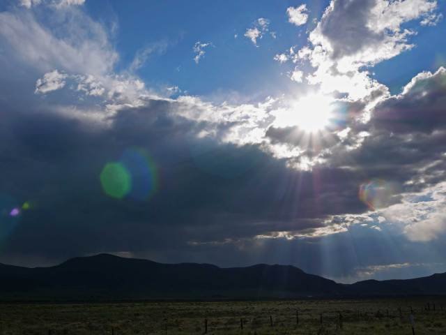
Views en route to Saguache
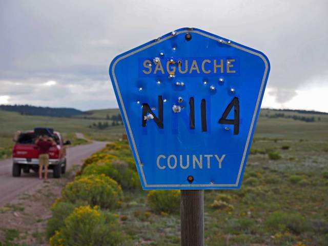
Saguache County Road N114
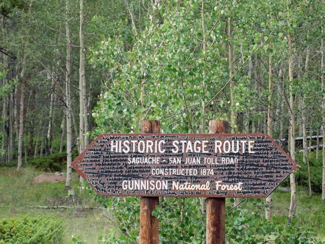
We reached Saguache County Road N114, and did a quick gear-check ensuring everything was tied down, the tires were deflated, and all necessary precautions had been taken before we went into the dirt.Our path to link up with the Continental Divide Trail merged, and soon we were on the divide itself, dancing back and forth as the Ram powered through forests and mountainsides. We also entered into the Gunnison National Forest, an area we’d become quite familiar with over the next few days.As we continued on, we were not only surrounded by the magnitude of nature, but by history as well. The roads, trails, and mountain passes we’d be embarking on over the next few days had been used since the original pioneers and explorers of the Colorado and the West set foot in these wondrous places.
Sign marking the Saguache – San Juan Toll Road, Established 1874
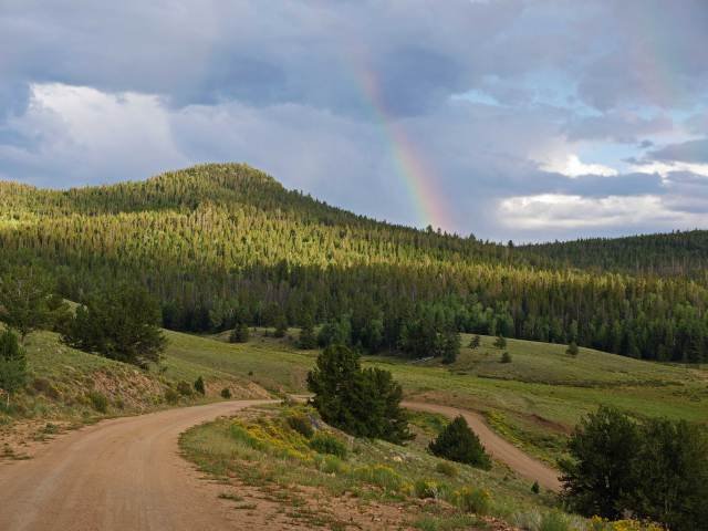
CDT Rainbows
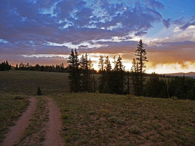
Along the way we were treated to outstanding views, even catching a glimpse of a rainbow. As we snaked along the trail, the day dragged on, and soon the sun began to set in the West. Seeing the vast landscapes during an overcast sunset was magnificent.
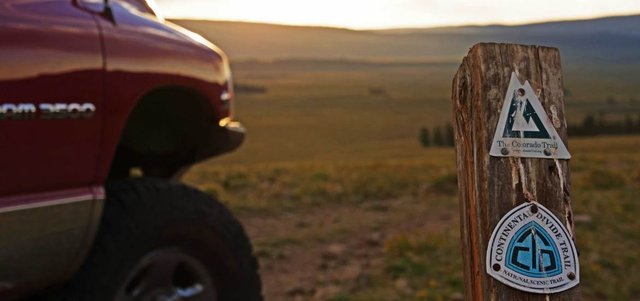
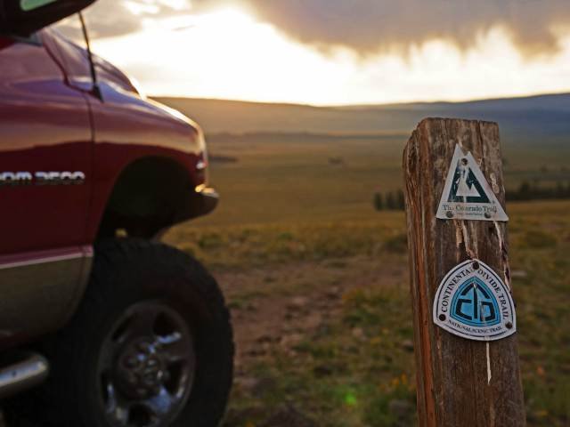
Trail markers placed strategically throughout the trail help keep you on the right course!
Sun setting on the Continental Divide Trail
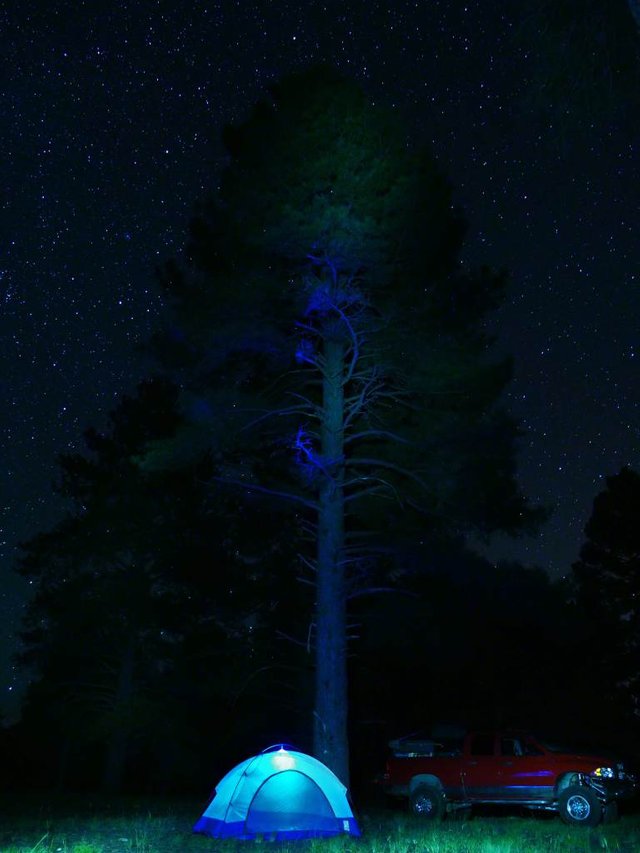
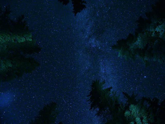
We made our way to the Gunnison National Forest Cebolla Creek Campground, and set up a hasty camp for the night, nothing more than quick jet-boiled foods and racking out. Prior to sleeping, I toyed around and took a few shots of the night sky. I am particularly happy with how the below picture ended up. After that, it was quick to bed… the next morning lay ahead the next leg of our journey across some of the great passes of the San Juan Mountains, en route to Telluride, Colorado.
Night Sky from Cebolla Creek
Soon we will publish a video of the entire expedition, in addition to follow-on posts covering the Colorado Mountain Passes and the Total Solar Eclipse Experience… get stoked!
