An Adventure of Discovery on Mount Peñagolosa

Hello everyone. Last month, we visited Peñagolosa Park, a natural park centered around its main attraction, Mount Peñagolosa. This mountain is known as one of the highest peaks in the Valencia region. We took a hike towards the mountain and came across many interesting sights along the way, which I’d like to share with you. The park is located in the Costeña region, near the border of Aragon, not too far from the Aragonese region. If you plan to visit, you might also want to check out San Juan de Peñagolosa. The nearest settlement is a small village called Vivéa, located on the Aragon side. The trail to the mountain starts at the park's entrance and we set out to explore and see what lay ahead.


A quick fact about the mountain: Peñagolosa stands 1,813 meters tall. There are several trails to choose from, including easier ones. At one point, we were 3.7 kilometers from the summit, but the path was challenging, with a continuous ascent. Fortunately, the weather was perfect for hiking. Along the way, we crossed a bridge where mountain streams form a creek during the rainy season. However, the weather was dry, making it ideal for our hike.


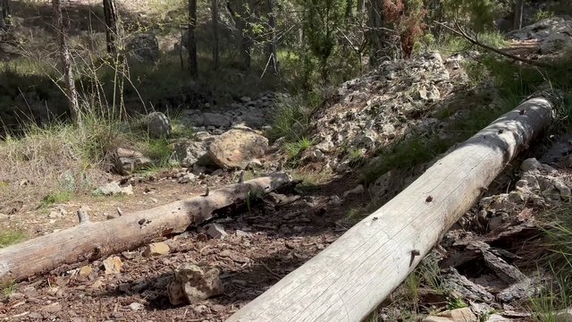

As we walked, we came across informational signs about the local flora and vegetation. There were also signs warning about local wildlife. Even before reaching Peñagolosa, a wild boar crossed our path,a lively and seemingly happy one! We continued slowly, passing some tourists accompanied by their dogs.
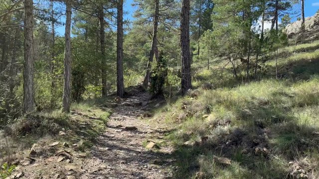
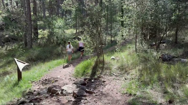

We found a natural mountain spring with clean, flowing water. If you’re visiting San Juan de Peñagolosa Park, you’ll find camping areas where you can stay overnight. We saw people camping with their tents and vehicles, making it a great spot to explore the surroundings.

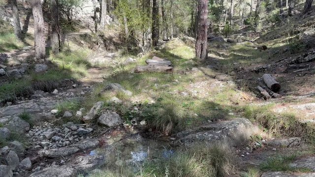

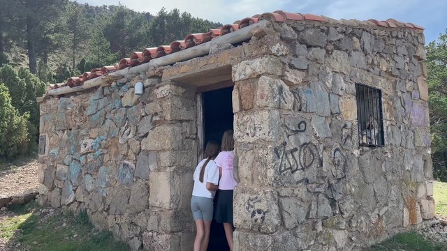
After passing another marker, we headed upward. October in the mountains brought autumn leaves falling all around us and the trail became steeper as we climbed. There were alternative routes available, such as longer but less steep paths. We read about the lives of local shepherds who once grazed their sheep in these mountains. We even saw old stone shepherd huts, likely preserved as historical monuments. It seems no one lives in them now, but they once provided essential shelter in the past.
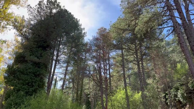


We had 2.4 kilometers left to the summit. Due to the steep trail, we took our time. The altitude had reached 1,500 meters. At one point, a fallen tree briefly blocked our way, but soon we moved onto a more accessible path, one that might even be reachable by vehicle. A marker directed us towards the peak and as we got closer, the trail grew even steeper.


Finally we tackled the most difficult part of the hike. As the saying goes “the darkest hour is just before the dawn,” and this was true for us as well. Climbing higher and higher, we reached the summit. There was a rope to help with the final steps.
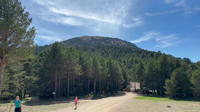
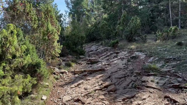


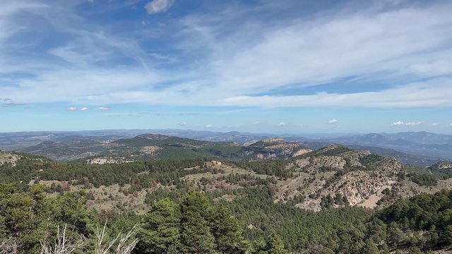
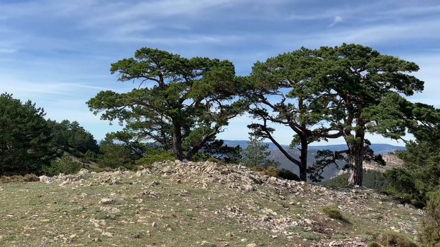
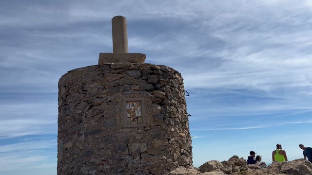
At 1,813 meters, we were rewarded with breathtaking views. A gentle breeze greeted us at the top and we could see all around from the Aragon region to the Costa area. After taking in the views, we rested for a while and then began our descent.


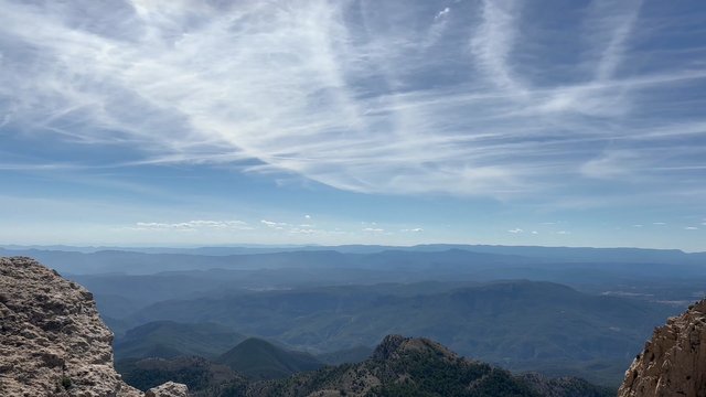


In the distance, we spotted a small settlement and further away, another village came into view. Slowly, we made our way back down. Leaving Peñagolosa behind, I bid you farewell here. Wishing you the joy of conquering new heights. Goodbye for now!